


The user conference, with 15,000 attendees, featured a “who’s who” of geolocation companies
Esri has released a global land-use/land-cover map (LULC) of the world, along with partner Impact Observatory, at its San Diego user conference this week. The LULC maps are based on 10-meter Sentinel-2 satellite data for every year since 2017, the company said.
“Users are working with maps that will accurately reflect events and earth processes that are happening in reality. We are constantly updating our land-cover map with new data and features, and this latest improvement ensures that anyone viewing temporal change can be confident what they are seeing represents the natural world,” said Sean Breyer, Esri ArcGIS Living Atlas of the World program manager, in a statement.
Esri says the LULC maps “contextualize and quantify the impacts of earth processes” and human activity on the environment. Target markets include government agencies and organizations who will use the maps to improve policies and make land management decisions, the company said.
Esri developed its Sentinel-2 10-Meter Land Use/Land Cover Time Series with the European Space Agency (ESA) Sentinel-2 imagery hosted on the Microsoft MSFT 0.00 Planetary Computer.
At the conference, the company also partnered with The Washington Post on a U.S. “Heat Tracker” that will be used by the venerable newspaper in its climate reporting. The Heat Tracker will use Esri’s spatial data and analytics.

Such Esri partners as Trimble TRMB 0.00 announced products at the conference. The company rolled out its Trimble Terra Office add-in for Esri ArcGIS Pro. Organizations that collect data in TerraFlex, and bring it into ArcGIS, can also use the Trimble Offline GNSS Corrections service, the company said.
Other Ersi UC announcements:
- Maxar Technologies announced the initial release of its Maxar Geospatial Platform (MGP) at the conference. The company said MGP will simplify the discovery, purchasing and integration of geospatial data and analytics. Users will have access to Maxar’s geospatial content, including high-resolution satellite imagery and basemaps, 3D models, analysis-ready data, image-based change detection and analytic outputs.
- CompassCom Software has released Version 8.2 of its GIS-centric hybrid telematics platform. The platform can be deployed on premises or in the cloud for real-time asset tracking and fleet management, the company said. The platform, developed on Esri ArcGIS technology, can track the status of personnel, vehicles and other mobile assets.
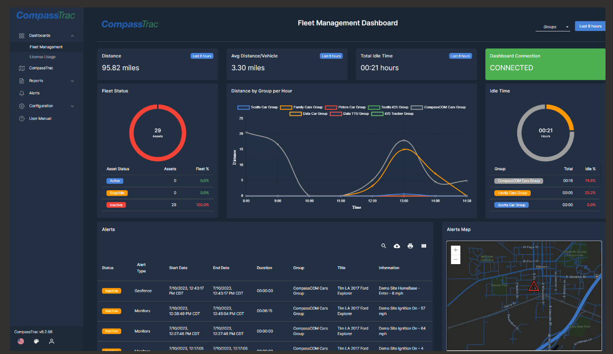
CompassCom’s telematic tracking system CompassTrac 8.2 (Image: CompassCom). - Locana said it is continuing its strategic partnerships with Esri and SAP SAP 0.00 by naming Tom Turchioe as global partnership technology lead.
- Near Intelligence NIR 0.00, which was a sponsor of the conference, announced that the location-based insights from its global data sets represent more than 1.6 billion unique user IDs.
- FacilityForce announced that it has added map-centric asset management capabilities, called Locate, to its Integrated Workplace Management System (IWMS) software suite. Locate embeds Esri’s ArcGIS mapping software into FacilityForce for map-centric asset management, the company said.


 of the world, along with partner Impact Observatory, at its San Diego user conference this week.)