NextNav NN -4.65%↓ has announced that it has been selected by NASA’s Ames Research Center to deliver PNT services for its urban drone program. The program will use NextNav’s TerraPoiNT network in the San Francisco Bay Area to capture in-flight horizontal and vertical location data and validate drone flight safety, the company said.
NASA will use TerraPoiNT beacons to capture in-flight data on drone navigation, detection, and collision avoidance, and support a stronger understanding of positioning, navigation, and timing in GPS-denied environments.
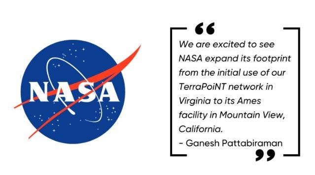
NextNav and the federal agency already have a partnership at its Hampton, Va.-based Langley Research Center in which NASA leverages the TerraPoiNT network to support its CERTAIN facilities at its Langley Research Center in Hampton, Virginia. NextNav’s commercial-grade TerraPoiNT network will be leveraged by NASA Ames to conduct tests on drone flights within their Urban Air Mobility program, the company said.
Specifically, NASA will use TerraPoiNT beacons to capture in-flight data on drone navigation, detection, and collision avoidance, and support a stronger understanding of positioning, navigation, and timing in GPS-denied environments, the company said. Initial tests, will use TerraPoiNT’s network to allow for Beyond Visual Line of Sight (BVLOS) testing.
Contact: NextNav, media@nextnav.com, www.nextnav.com.
