DENVER—The annual Geo Week conference here showed the growing reliance on GNSS technology not just for drone guidance and positioning, but mapping and survey for a host of applications.
One company, Spexi, a decentralized drone imagery network that recently raised $11.5 million in a Series A, exhibited to tell customers about the scalability, cost, and environmental challenges of traditional Earth imagery, delivering high-resolution, standardized images with near-zero emissions.
“We’re using the funding to grow our network, team and get deeper in the computer vision models we are building. We are scaling the business,” said Bill Lakeland, founder of Spexi. “We are now in 200 cities in the United States and going into the UK, Mexico and Canada next.”
Lakeland said that his drones have now flown more than 70,000 survey and aerial mapping missions in the U.S. “What we’ve seen is the miniaturization of the technology as we used to think bigger was better. Now we are able to fly at a moment’s notice and have less risk to airplanes.”

Javad GNSS exhibited at the conference, saying 80 percent of their total sales come from OEM transactions. The company, which is working with two “major drone companies” that are using their GNSS boards, displayed their flagship LS Plus and T3 base station
“Whether you have a [Javad] $3,000 receiver or one that costs $25,000, they are built with an IMU,” said Michael Woodel, Javad GNSS regional sales manager, USA West, during a presentation.
“There is more and more jamming and spoofing overseas. Our software allows you to see what signals are actually jammed and then allows you to take that signal out of the solution. For drones overseas, this is a must.”
German drone maker Wingcopter displayed their beyond cargo drones, including long-range BVLOS lidar surveying solutions. The Wingcopter 198 will be equipped with laser scanning and camera systems to enable it to survey up to 37 miles of linear infrastructure in one mission, the company said.
Potential use cases include the inspection of power lines, pipelines, railways and roads, as well as the mapping of terrain and vegetation that is difficult to access, the company said. Using a Wingcopter with lidar, customers can scan up to 2,560 acres in a single 42-minute BVLOS mission.
“We come from the delivery segment. While we applied for FAA approval, we also reached out to customers for additional use cases for VTOL, long-range drones that can carry a lot of things,” said Ansgar Kadura, Wingcopter co-founder and chief strategy officer.
In other Geo Week news:
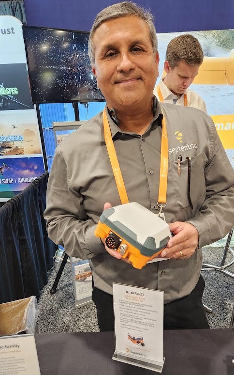
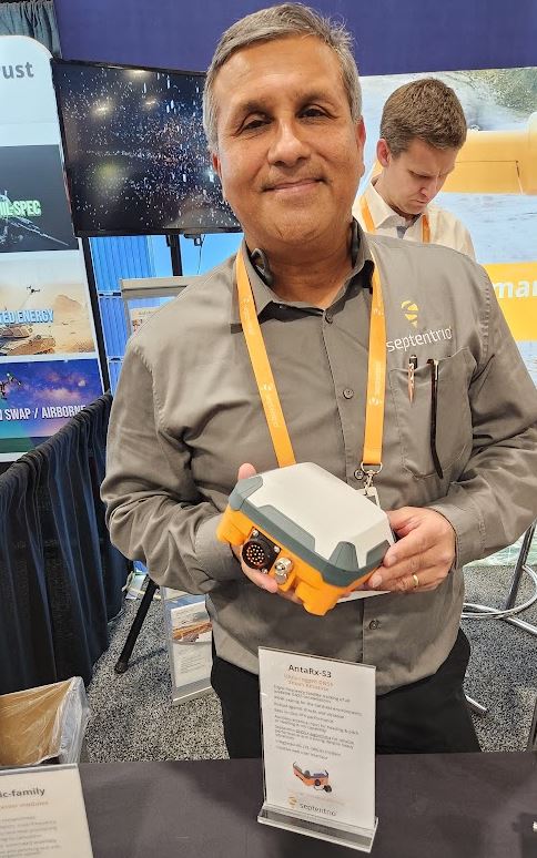
- GEODNET attended GEO WEEK and connected with customers at the Septentrio booth.


