Send your news releases to kdennehy@driverlessreport.com. Go to www.locationbusinessnews.com for more news and an archive of stories.
TomTom Expands Partnership With NextBillion and Causeway
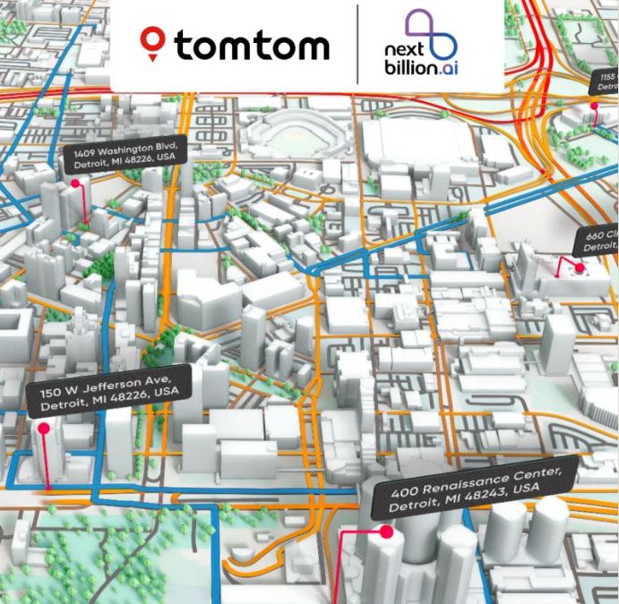
TomTom [TOM2] has expanded its partnership with NextBillion.ai, a location technology platform provider. TomTom is integrating its data and APIs for NextBillion.ai’s solutions that provide route optimization, scheduling, and dispatch to the logistics, field services, and broader mobility industries, the company said.
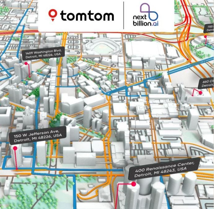
In other company news, TomTom extended its commercial deal with British construction company Causeway. The company will integrate its Live Traffic and Maps APIs into the Causeway one.network to provide customers information on roadworks, road closures, and traffic disruptions, the company said.
ITSA Releases Framework for Successful AV Deployment
ITS America recently released the Public-Private Framework for Successful AV Deployment. The resource discusses how public-private collaborations can “maximize the benefits of automated vehicle (AV) deployment while reducing risks and improving the likelihood that the technology serves the needs of communities.” ITS America said that the framework provides an overview of considerations related to establishing public-private collaboration, defining AV deployment success, planning and implementation from concept to deployment, conducting effective outreach and engagement, and reviewing lessons learned.
Contact: ITS America, www.itsa.org.
Suntech International Launches ST4915 GPS Tracking Device
Suntech International USA has introduced its ST4915 battery-operated GPS tracking device for IoT applications in vehicle/fleet management and asset/trailer tracking. Key features include a Bluetooth Gateway that is expandable with additional tags and sensors for monitoring and management.
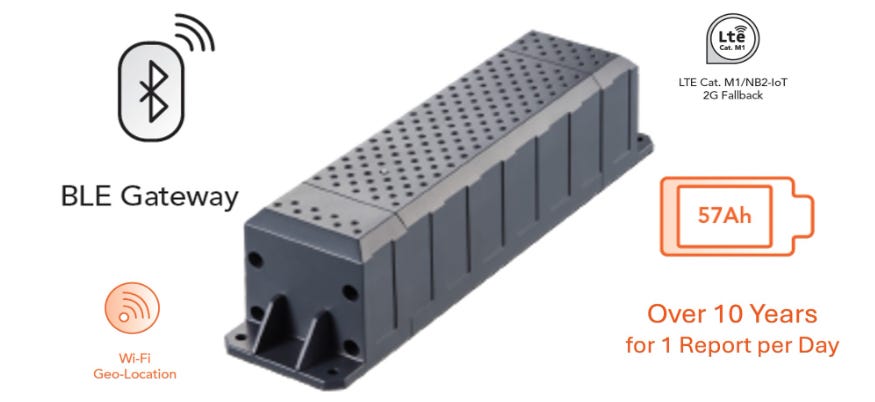
Other features include multiple location technologies including GPS, Wi-Fi geolocation and cell ID for tracking. The unit also has a motion sensor for shock and collision detection.
Contact: Tim Newberg, Suntech International, tnewberg@suntechus.com, www.suntechus.com.
CesiumAstro Grabs NASA Navigation Tech Contract
CesiumAstro has been awarded a contract from NASA’s Marshall Space Flight Center (MSFC) to develop navigation technology for future lunar missions. CesiumAstro will deliver advanced radio units compatible with NASA’s LunaNet Augmented Forward Signal (AFS) standard to support ground testing of future surface navigation networks, the company said.

Some of the contract’s provisions include developing hardware capable of transmitting and receiving LunaNet AFS, implementing navigation signal generation based on GPS standards and enabling
high-precision phase measurements for lunar ranging applications, the company said. CesiumAstro expects to deliver the radio units within a year.
Contact: Aimée Ahiers, media@cesiumastro.com, www.cesiumastro.com.
Topocart Maps Brazil’s Cities Using Teledyne Galaxy PRIME+
Teledyne Geospatial recently sold its Teledyne Galaxy PRIME+ lidar system to Topocart, a Brazilian mapping company, to map large urban and rural areas. The Galaxy PRIME+ lidar system features the company’s SwathTRAK technology.
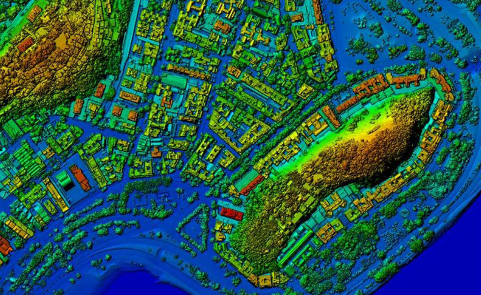
The technology allows for mapping in mountainous regions, at safe and stable altitudes, resulting in consistent coverage and minimal side lap, the company said. Compared to a fixed field-of-view lidar system, Galaxy reduces the amount of flight lines, cost and carbon footprint by less than 40 percent, the company said.
Contact: Jennifer Parham, Teledyne Geospatial, jennifer.parham@teledyne.com.

Create a FREE ManyMe Account.
ADASTEC Driverless Bus Used by National Park Service
ADASTEC has announced that its automated driving software platform has been integrated by Vicinity Motor Corp. for use in a National Parks Service (NPS) driverless bus that will ferry passengers at the Sleeping Bear Dunes National Lakeshore in Michigan. The driverless bus will not only ferry passengers, but will serve as a research platform to test crash avoidance.
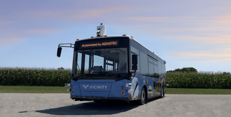
During the 45-day pilot program, the driverless bus will run along a 7.4-mile route, five days a week for eight hours per day, the company said. The initiative is part of an NPS Mobility Challenge Program that seeks to develop sustainable mobility solutions for national parks.
Contact: ADASTEC, www.adastec.com.
IdriveAI Launches NEXUS Fleet Management Platform
IdriveAI has launched its NEXUS video-based IoT platform that leverages AI-driven insights from both edge and cloud computer vision models and real-time data analytics. NEXUS features real-time video analytics, vehicle tracking, driver behavior monitoring, predictive risk alerts and customizable reporting. Nexus also features tracking that monitors vehicle locations and movements in real-time, the company said.
Contact: Andy Meyer, for IdriveAI, andym@msecmarketing.com, 44 (0) 1737 225 586, www.idrive.ai/fleet-management-platform.
Sentrycs Protects Latin American Port from Narco Smuggling
Sentrycs has been selected by a major maritime logistics and shipping company to protect ports in Latin America from drug cartels smuggling narcotics into shipping containers. The company said criminals were using small drones with and without GPS to perform surveillance flights and monitor the presence of security guards. Sentrycs site inspection detected 127 unauthorized drones in five days, the company said.
Contact: Audelia Boker, Sentrycs, audelia.boker@sentrycs.com, www.sentrycs.com.
People
- Bosch Global Software Technologies has named Uday Prabhu as vice president, innovation and chief innovation officer.
- Adam Haraz has been named director of business development and sales for Americas and Australian/New Zealand at TEKTELIC.
- Shawn Curtis has been named chief of staff, finance and business operations at PTx Trimble.
- Rob Tiffany has been appointed research director at IDC.
- Phill Smith has been named CTO at Where You At.
Jobs
Project Management and Control Officer. EUSPA.
Marketing Associate. Cambridge Mobile Telematics.
Regional Sourcing Specialist, Geospatial Data. TomTom.
Sales Representative. TomTom.
Monitoring Technical Customer Support Professional. Trimble.
Technical Consultant. Sewio.
Sales Manager – IOT, RTLS. Pozyx.
Product Manager, EV Charging SaaS Product. Fuser.

Click HERE to Join our growing Location Business News LinkedIn Group!
