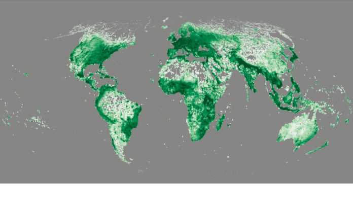
The Overture Maps Foundation has announced the availability of more than 2.3 billion buildings through the addition of Google Open Buildings data set.
Overture’s latest release, Overture 2023-12-14-alpha.0, includes the Google Open Buildings data, which consists of 2D building footprints derived from high-resolution satellite imagery providing coverage in Africa, South Asia, South East Asia, and Latin America. Overture conflated the Google data with its current building footprints from OpenStreetMap, Esri Community Maps, and Microsoft Open Building Footprints.

“Our initial goal for the Buildings theme has been to increase coverage. We have done that by combining several open datasets including OpenStreetMap, Esri Community Maps and Microsoft Building Footprints,” said Marc Prioleau, Overture Maps Foundation executive director. “Now, with the Google Open Buildings we have further grown the number of buildings overall, upgraded the quality of some buildings and dramatically expanded coverage in the southern hemisphere.”
Prioleau said that Overture also added a unique identifier, Global Entity Reference System ID, or GERS ID, to each of the 2.3 billion buildings. “That allows developers to unambiguously append many types of other data to the buildings. One of Overture’s main goals is to make it easier for developers to conflate and combine data from many sources in an easy, unambiguous way through this entity identifier,” he said.


