Send your news releases to kdennehy@driverlessreport.com. Go to www.locationbusinessnews.com for more news and an archive of stories.
Septentrio Expands GNSS Line with Mosaic-G5 Receivers
Septentrio has introduced new models of its mosaic-G5 modules series. The new receivers offer multi-frequency, multi-constellation tracking and are designed for easy integration into space-constrained applications such as robotics and automation, the company said.
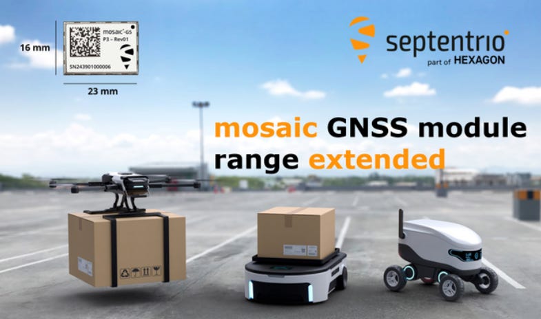
The new modules are compatible with widely used, open-source autopilots such as PX4 and ArduPilot. Samples of the new mosaic-G5 P1, mosaic-G5 P3, and mosaic-G5 P3H modules are now available, with volume orders available for delivery later this year, the company said.
Contact: Septentrio, www.septentrio.com.
u-blox Launches ZED-F20P Triple-Band GNSS Module for High-Precision Robotics
Thalwil, Switzerland-based u-blox has introduced the ZED-F20P, a triple-band GNSS module designed to deliver centimeter-level accuracy for ground and aerial robotics applications. The module supports L1, L2, and L5 frequency bands and integrates Real-Time Kinematic (RTK) and Precise Point Positioning-RTK (PPP-RTK) technologies.
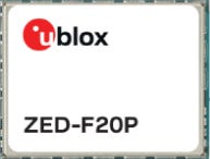
Its low power consumption and 25 Hz update rate make it suitable for applications requiring high precision and reliability, such as robotic lawnmowers and drone fleets, the company said. The module also offers native support for u-blox’s PointPerfect Flex and Live GNSS correction services.
Contact: Sven Etzold, u-blox, 41 76 561 0066, sven.etzold@u-blox.com, www.u-blox.com.
Honeywell Unveils HGuide o480: Compact Navigation System for GPS-Challenged Environments
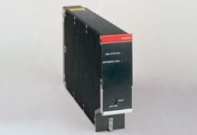
Honeywell HON 1.19%↑ has introduced the HGuide o480, a compact, single-card inertial navigation system designed to provide precise localization and attitude data for autonomous systems operating in GPS-denied or contested environments.
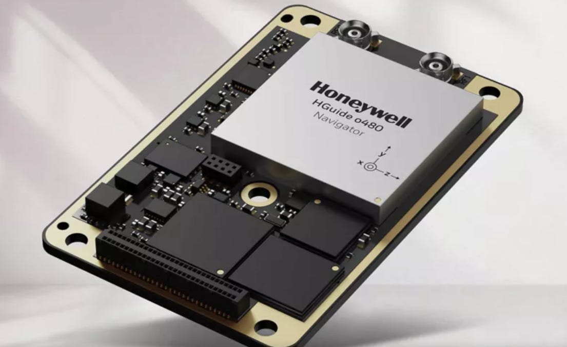
The system integrates Septentrio’s AIM+ technology within its Mosaic GNSS receiver. Compatible with various velocity-aiding sensors, including Honeywell’s Radar Velocity Sensor, the HGuide o480 supports applications across air, land, and sea platforms, such as unmanned aerial vehicles and autonomous ground vehicles.
Contact: Honeywell, www.aerospace.honeywell.com.
FocalPoint and STMicroelectronics Collaborate to Enhance GNSS Accuracy for Autonomous Vehicles
FocalPoint has partnered with STMicroelectronics STM 0.99%↑ to integrate its S-GNSS Auto software into ST’s Teseo GNSS chipsets. This collaboration aims to improve navigation performance in challenging environments, such as urban canyons and forested areas, by enhancing GNSS reliability and accuracy, the company said. The combined solution reportedly increases measurement accuracy by up to four times and position accuracy by up to three times compared to existing systems.
Contact: Ramya Sriram, FocalPoint, contact@focalpointpositioning.com.
ProStar, JAVAD GNSS Partner on Utility Industry Mapping Tech
ProStar and JAVAD GNSS have announced a partnership to deliver precision mapping technology to the utility industry. The collaboration aims to provide solutions for capturing, visualizing, and managing critical infrastructure data, the companies say.

ProStar’s PointMan Precision Mapping Solutions, combined with JAVAD GNSS’s high-precision positioning technology, will offer enhanced accuracy and efficiency for utility mapping projects, the companies say. The partnership will enable utility companies to improve asset management, reduce costs, and enhance safety, the companies say.
Contact: Page Tucker, ProStar, (970) 242-4024, investorrelations@prostarcorp.com, www.prostarcorp.com.
Topcon and Amberg Technologies Partner to Advance Rail and Tunnel Surveying Solutions
Topcon Positioning Systems and Amberg Technologies have announced a partnership to integrate Topcon’s sensor technologies with Amberg’s software and hardware platforms for rail and tunnel applications.
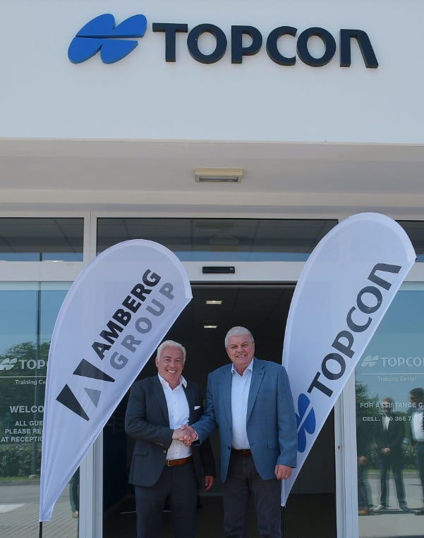
By combining Topcon’s precision measurement tools with Amberg’s expertise in underground surveying, the collaboration aims to improve efficiency and accuracy in construction and maintenance of rail and tunnel infrastructures, the company said.
Contact: Staci Fitzgerald, Topcon Positioning Systems, (925) 245-8610, corpcomm@topcon.com.

Create a FREE ManyMe Account.
Quectel, GEODNET Team Up to Bring Centimeter-Level RTK Accuracy to Mass-Market IoT
Quectel Wireless Solutions has announced a partnership with GEODNET to offer Real-Time Kinematic (RTK) Correction Services, delivering centimeter-level positioning for mass-market IoT applications including robotics, agriculture, and autonomous vehicles. The service integrates Quectel’s RTK modules with GEODNET’s global network of more than 15,000 uniform triple-band reference stations, the company said. A 60-day free trial bundled with evaluation kits aims to simplify RTK adoption and accelerate deployment for developers and manufacturers, the company said.
Contact: Quectel, media@quectel.com, www.quectel.com.
SPARC AI Advances GPS-Free Drone Navigation with Semiconductor Integrations
SPARC AI has announced plans to embed its GPS-independent navigation and target acquisition software into microcontrollers from Nvidia NVDA 2.08%↑, Qualcomm QCOM -1.84%↓, and STMicroelectronics STM 0.99%↑, aiming to enhance autonomous capabilities in drones and robotic systems. This initiative builds on the company’s prior integration with Google‘s GOOG 2.09%↑ Coral microprocessor and its successful deployment in the Parrot ANAFI USA GOV military drone, demonstrating precise navigation without reliance on GPS, radar, or image recognition technologies.
Contact: Anoosh Manzoori, SPARC AI, 61 3 9666338, anoosh@sparcai.net, www.sparcai.net.
Ecopia AI and Nearmap Release 3D Land Cover Data for 400 U.S. Cities
Ecopia AI, in collaboration with Nearmap, has launched off-the-shelf 3D land cover mapping data for the 400 largest U.S. cities, providing a digital twin to support geospatial analytics in urban planning, infrastructure development, and climate resilience, the company said. The dataset includes 17 standardized layers detailing natural and built environments, extracted from Nearmap’s high-resolution aerial imagery using Ecopia’s AI-based mapping systems, the company said.
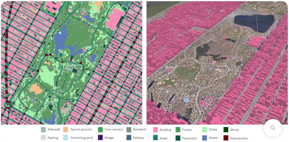
Potential markets include civil engineering firms, government agencies, and other organizations. Over the coming months, Ecopia plans to expand access to this dataset across Nearmap’s entire coverage area, encompassing over 1.5 million square kilometers and covering 87 percent of the U.S. population, the company said.
Contact: Ecopia AI, www.ecopiatech.com.
Atos Recognized as Leader in 2025 Gartner Magic Quadrant
Atos has been named a leader in Gartner’s 2025 Magic Quadrant for Outsourced Digital Workplace Services. The Atos Experience Operations Center (XOC), launched in 2024, leverages cognitive analytics, virtual agents, remote diagnostics, innovative device provisioning and robust asset tracking for a secure, frictionless employee device support experience, the company said.
Contact: Isabelle Grangé, 33 (0) 6 64 56 74 88, isabelle.grange@atos.net, www.atos.net.
ModalAI Introduces Stinger Vision FPV Drone for Autonomous Indoor Reconnaissance
ModalAI has launched the Stinger Vision FPV, a compact, NDAA-compliant drone designed for autonomous indoor reconnaissance and development applications. Weighing 575 grams, the drone integrates the VOXL 2 Mini computing platform and utilizes AI-assisted vision systems to navigate GPS-denied environments with minimal pilot input.
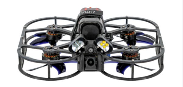
Equipped with dual computer vision cameras, a low-light electro-optical sensor, and a downward thermal camera, the Stinger Vision FPV offers multiple viewing options, including EO, downward, and optional Boson+ 640 thermal FPV views, the company said.
Contact: Lauren Young, ModalAI, (858) 247-7053, pr@modalai.com.
SuperCom Expands U.S. Presence with Virginia Electronic Monitoring Contract
SuperCom SPCB 2.74%↑ has secured a new electronic monitoring contract in Virginia, marking its ninth U.S. state expansion since mid-2024. The company will deploy its PureSecurity Electronic Monitoring technology. Under the agreement, SuperCom becomes the primary technology partner, facilitating the transition to its PureOne GPS tracking system and supporting potential statewide expansion.
Contact: SuperCom, ir@supercom.com, www.supercom.com.
Global Rail Freight Tracking Devices to Exceed 1.3 Million by 2029, Study Finds
The number of tracking devices installed on rail freight wagons reached 775,000 globally at the end of 2024 and is expected to grow to 1.3 million by 2029, according to a new report by market research firm Berg Insight. Leading providers of these solutions include Nexxiot, Siemens Mobility, SAVVY Telematic Systems, Amsted Rail and Blackberry BB 2.23%↑. Berg Insight says the increasing digitalization of railways helps operators reduce costs, provide better shipment tracking, and compete more effectively with other transport modes.
Contact: Johan Fagerberg, Berg Insight, 46 31 711 30 91, johan.fagerberg@berginsight.com, www.twitter.com/berginsight.


