
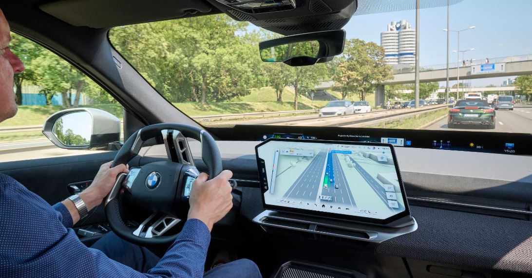
BMW Group will introduce BMW Maps with Driver Assistance starting in November, combining route guidance, vehicle surroundings and active driver-assistance information into a single 3D view on the central display.
The feature will be available on BMW vehicles equipped with BMW Operating System X. Drivers will see the vehicle’s precise position within its lane and at the correct road level, along with how the car perceives its surroundings and which assistance systems are supporting the drive. The display is intended to improve orientation in complex traffic, from city intersections to highway driving.

Highway Assistant, which enables hands-free driving on highways at speeds up to 85 mph and supports automated lane changes after driver confirmation, is among the systems shown in the integrated view. With active route guidance, the system can support drivers from highway on-ramps through to exits.
Stephan Durach, senior vice president of digital services, infotainment and connected company at BMW Group, said the intelligent interaction between navigation and driver assistance is an important step toward highly automated driving. The feature was developed by BMW Group in collaboration with mapping partner Mapbox and uses Mapbox navigation data and map technology.
Peter Sirota, CEO of Mapbox, said the partnership aims to give drivers a seamless view of lane guidance and surrounding conditions so they can better understand the driving situation. Availability is limited to vehicles with Highway Assistant or Highway & Commuting Assistant in select countries, cities and roads, with a phased rollout.