Woolpert received a five-year, $50 million U.S. Army Corps of Engineers contract to provide professional and non-professional mapping and management services for projects in Europe.
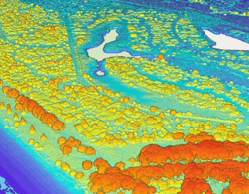
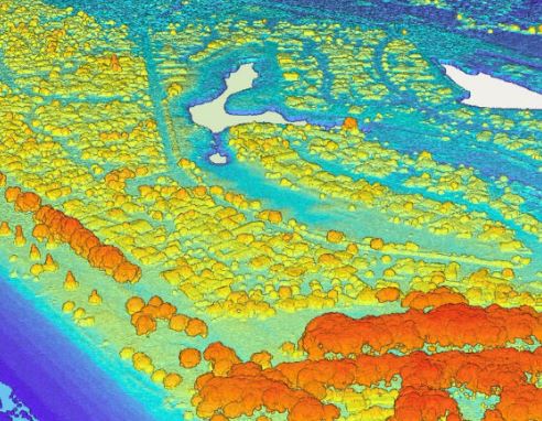
Woolpert said it completed a five-year, shared-capacity GIS/mapping, surveying, and photogrammetric mapping services contract under a joint venture arrangement. Services under this contract will include aerial photography and lidar collection and processing, photogrammetry, land surveying, CAD/GIS mapping and data migration, as well as site, utility, and space utilization survey, the company said.

“Leveraging our past experience with the district, our local presence, and skilled subcontractor base, we are privileged to continue our work with USACE Europe and their stakeholders,” said Darius Hensley, Woolpert vice president and national security program director, in a statement.
Woolpert has been seeing government aerial lidar contract wins recently as it won $6.8 million to collect lidar data for the U.S. Geological Survey last month.


