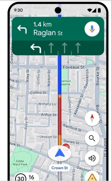
Google GOOG -1.23%↓ this week said that both Maps and Waze will have new features that will make it easier for drivers to report such incidents as nearby construction, lane closures, objects and police presence. The reports, which will come from the Maps and Waze communities, will allow drivers to see where the report originated, according to a company blog.
Google has made reporting icons larger so that drivers can quickly share updates. In addition, other drivers can confirm an incident with a tap, the company said. The new feature will be rolled out globally on both Android and iOS—and cars with Android Auto and Apple Car Play.
Another feature will allow Maps users to have destination guidance that automatically lights up a building and its entrance as a driver approaches it—and showing nearby parking lots. Waze will allow its users to see new speed camera types, provided by community members and publicly available data from local authorities.
One new feature that is missing, which one reporter felt should have been added, was the ability to pause directions during stops for food or fuel. Right now, that ability is not there.
Other features include:
- Waze users will have turn-by-turn directions, traffic updates and hazard alerts while their phones are locked.
- A new traffic events feature (parades, concerts and sporting events, etc.) that notifies Waze users once an event has started to avoid congestion.


