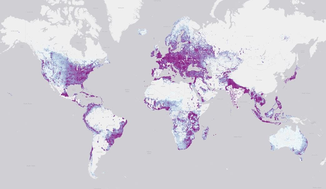
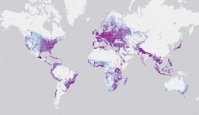
Microsoft Maps said it its worldwide datasets now include 1.2 billion building footprints and 174 million height estimates. The company, which has a dedicated Maps AI team, has been taking advantage of Microsoft’s MSFT 0.50%↑ investments in deep learning, computer vision, and machine learning, according to a company blog.
These footprints and building height estimates come from Bing Maps imagery between 2014 and 2023, the company said. In addition, the company used imagery from Maxar, Airbus and IGN France.

For its part, Bing Maps has used deep learning, ml and computer vision technology to release more than 130-million building footprints in the United States to the OpenStreetMap community.
In OpenStreetMap there are currently more than 30 million building footprints in the United States, according to the blog. The company said Bing Maps is making this data available for free.


