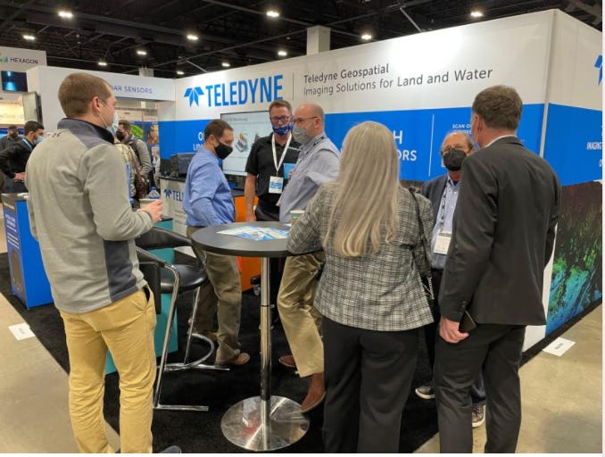
DENVER—The worldwide pandemic has significantly reduced the size of trade shows—if not cancelled many of them all together. However, Geo Week has found success this year by combining several conferences into one large trade show.
AEC Next Technology Expo & Conference, International Lidar Mapping Forum, and SPAR 3D Expo & Conference were combined into one trade show. The result was a sold out show floor with 140 exhibitors, include industry biggies Hexagon, Trimble [TRMB] and others, at the Colorado Convention Center here.
In addition, conference organizers partnered with ASPRS (American Society for Photogrammetry and Remote Sensing), MAPPS and USIBD (US Institute of Building Documentation) to increase attendance.
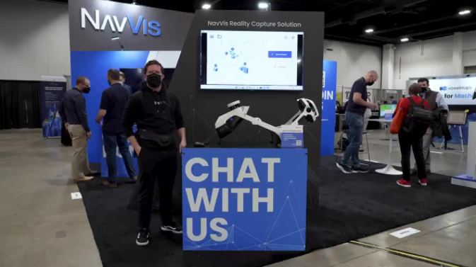
Some product rollouts were made at Geo Week, including three at the “Pitch the Press” event. NavVis demonstrated its wearable mobile mapping system, NavVis VLX. The NavVis VLX is a mobile mapping system designed for reality capture in AEC, which the company said is 10 times faster than a terrestrial laser scanner.
ProStar GeoCorp’s mapping solution, PointMan, allows users to connect their mobile device (Android/IOS) with major GPS/GNSS, cable, & pipe locating equipment manufacturers to capture infrastructure data.
Phase One has announced its iX Suite software package for aerial mapping project management at the Denver Geo Week. Compatible Phase One PAS airborne systems, iX Suite handles mission planning, flight management, data acquisition, image selection and processing and in a common workflow, the company said.
In other Geo Week news:
- Phase One announced its iX Suite software package for aerial mapping project management. Compatible Phase One PAS airborne systems, iX Suite handles mission planning, flight management, data acquisition, image selection and processing and in a common workflow, the company said.
