A FIFA World Cup 2026 match has become a data-rich environment where GPS and other location technology play a key role both on the pitch and across stadium grounds, according to the head of a leading satellite technology industry group.
Lisa Dyer, executive director of the GPS Innovation Alliance, said the wearable tracking equipment worn by players is heavily regulated under the sport’s official rules. FIFA has established a strict Quality Programme to test and standardize these Electronic Performance Tracking Systems, which integrate data from GPS, Local Positioning Systems and Optical Tracking Systems.
“EPTS data is streamed real-time to coaches, training, and medical staff to track how well a player is performing, if they are getting tired, or if they are displaying evidence of an injury,” Dyer said. She noted that coaching staffs rely on this live information to make critical decisions regarding player substitutions, tactical adjustments and play calls.

Following matches, teams use the tracking data to customize player recovery schedules, prepare for upcoming games and design specific rehabilitation programs for injured athletes. While FIFA’s testing protocols extend to other pitch technologies — including specialized turf, floodlights and sensors embedded inside the match balls, Dyer clarified that player trackers are kept strictly separate from the ball sensors.
“They are not integrated,” Dyer said, explaining that a player’s biometric data is protected by regional privacy laws and must be handled independently. “It also needs to be protected and handled separately for competitive reasons. Having access to a player’s data could also provide huge competitive advantages for an opposing team.”
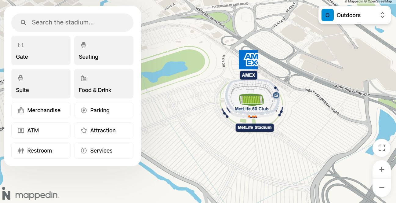
Beyond player tracking, satellite navigation and location technology are heavily integrated into tournament infrastructure. The official FIFA World Cup 2026 smartphone app blends GPS, Bluetooth and Wi-Fi technologies to guide fans seamlessly to the nearest entrances and exits at every host stadium. Groundskeepers even use GPS to make sure painted lines are even.
Security and emergency personnel also use the technology for public safety and logistical coordination. Law enforcement and event organizers rely on GPS to determine the most efficient transportation routes for teams moving between hotels, training facilities and stadiums, while simultaneously tracking fleet locations to maintain high-level security perimeters throughout the tournament.